It’s been 30 years since the United States Congress passed the Clean Water Act setting
standards that would begin cleaning pollution from our water systems. However, according to the Environmental
Protection Agency (EPA), nearly one-half the bodies of water with federal oversight are still not fit for
fishing or swimming.
The Brazos River Authority (BRA) and stakeholder groups throughout the basin are collaborating to
form Watershed Protection Plans to stop pollution before cleanup efforts are necessary.
A watershed protection plan is a strategy developed by interested groups or stakeholders to
identify sources of possible pollution and establish ways of measuring water quality while reducing or eliminating
the sources of pollution.
Within the Brazos River basin, three active watershed protection plans are currently being
developed or implemented on Lakes Granbury and Granger, and within the Leon River watershed.
Each plan is specific to the area and the possible causes of water quality problems.
Lake Granbury
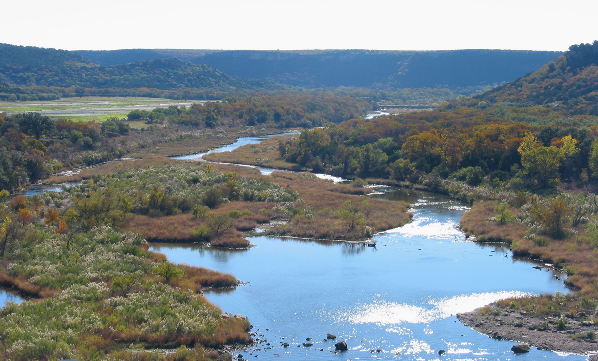
Lake Granbury, situated on the main stem of the Brazos River southwest of Fort Worth, was built
in 1967 as a water supply reservoir. In the more than 40 years since its construction, the City of Granbury and Hood
County have experienced rapid growth in areas near and directly around the lake. A substantial portion of this
development is located in subdivisions centered on man-made canals and coves that provide a large number of
lake-front properties.
As these developments flourished, the majority were built without the benefit of a centralized
sewage collection system and look to on-site septic systems for sewage treatment. Over the past five years, water
quality testing has consistently shown that Lake Granbury is experiencing elevated concentrations of E. coli bacteria
in the certain coves and canals that have minimal water circulation with the reservoir’s main body.
The Lake Granbury Watershed Protection Plan
The Lake Granbury Watershed Protection Plan (WPP) project is funded by federal dollars provided
by the United States Environmental Protection Agency (EPA) through the Texas Commission on Environmental Quality (TCEQ).
Along with local stakeholders, the BRA is administering the plan that includes
an assessment of existing and potential water quality threats within the Lake Granbury watershed. The study will
also provide a WPP to improve and protect water quality within Lake Granbury.
Information obtained from this project will provide Federal, State and local decision makers with
a variety of means that can be employed to promote the restoration of the lake's aquatic environment and to prevent
further pollution of the lake.
The Lake Granger Protection Plan
Lake Granger is a flood control reservoir created by the U.S. Army Corps of Engineers in 1980.
Located northeast of Austin in Williamson County, it also serves as a water source and popular recreational area for
the surrounding community.
The purpose for Lake Granger’s Watershed Protection Plan is not to reduce pollution, but to find
a means to reduce sedimentation. In 1980, when the lake began impounding water, original water storage was
calculated at 65,510 acre feet. A 1995 survey found the lake had suffered a loss of an additional 11,230 acre feet
over the intervening 15 years -- losing 17 percent of its storage capacity.
The lake serves as a drinking water supply to Williamson County; currently the fourth-fastest
growing county in the country. Water demands on the lake are expected to exceed 100,000 residents in the next five
to ten years. As the population continues to grow, it is increasingly important to slow the sedimentation of the
reservoir and protect water quality.
The purpose of the Lake Granger WPP is to attempt to reduce the amount of sediment moving into
the lake by at least 30 percent and address potential, future water quality concerns. Part of the process includes
establishing criteria to determine the amount of water being held in the lake and to assist landowners with
conservation practices such as maintaining vegetation around the lake. This project is being funded by the EPA
through a Texas State Soil and Water Conservation Board Grant (TSSWCB).
The Leon River Watershed Protection Plan
The Leon River Watershed runs through Comanche, Hamilton, Erath, Coryell, and Eastland Counties
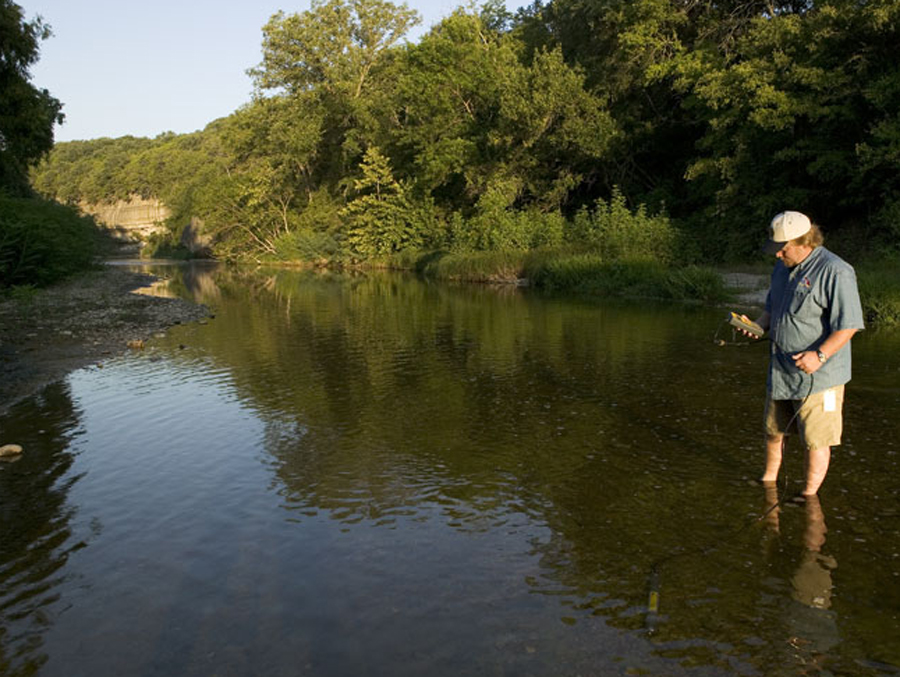
into Lake Belton. The Authority began collecting water samples from the Leon River in 1991. By 1998, this data
showed that the Leon had bacteria levels that exceeded state water quality standards and the river was designated as
“impaired.” Additional water quality studies conducted by the state have identified the most likely sources of the
bacteria and their potential contribution to the Leon River.
The Leon River WPP will assist local stakeholders and state environmental
officials in developing management strategies to reduce the bacteria levels in the Leon River above Lake Belton.